
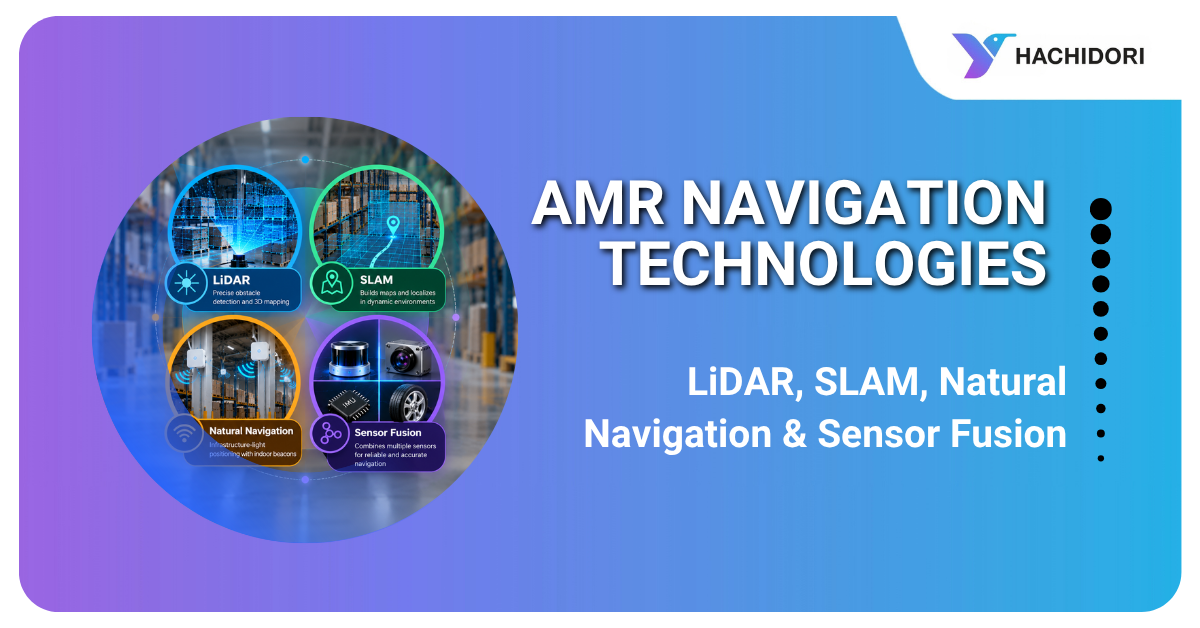
Autonomous Mobile Robots (AMRs) are transforming material movement in factories and warehouses by reducing dependence on manual trolleys, forklifts, and fixed-path automated guided vehicles (AGVs). However, selecting the right AMR requires more than evaluating payload capacity and operating speed. Understanding the navigation technologies behind these robots is essential for ensuring safe, reliable, and efficient operations.
For warehouse managers, manufacturing leaders, and logistics decision-makers, technologies such as LiDAR, SLAM, natural navigation, and sensor fusion play a critical role in determining an AMR’s performance in real-world industrial environments.
As an experienced AMR Manufacturer, Hachidori Robotics develops autonomous material movement solutions designed for dynamic industrial environments. Its navigation technologies, including Wireless Natural Navigation (WiNN) and indoor positioning systems, help businesses automate intralogistics operations without relying on conventional floor markers or fixed travel paths.
Whether you are evaluating an industrial mobile robots solution for your warehouse or comparing options from a Mobile Robot Manufacturer, understanding these navigation technologies will help you make a more informed investment.
What Is AMR Navigation?
AMR navigation refers to the technologies and algorithms that enable an autonomous mobile robot to determine its location, understand its surroundings, select an appropriate route, and move safely toward its destination.
Unlike traditional AGVs that typically follow predefined paths using magnetic tape, wires, or other guidance markers, AMRs can navigate dynamically through changing industrial environments.
An AMR navigation system generally includes:
- Localization: Determines the robot’s position and orientation.
- Mapping and perception: Builds an understanding of the facility and identifies obstacles.
- Path planning: Calculates efficient routes between destinations.
- Motion control: Controls the robot’s movement along its planned route.
- Obstacle avoidance: Detects obstacles and adjusts movement when necessary.
- Fleet management: Coordinates tasks and routes when multiple robots operate together.
- System integration: Connects robot missions with warehouse management systems (WMS), manufacturing execution systems (MES), and enterprise resource planning (ERP) platforms.
These capabilities directly influence operational throughput, workplace safety, layout flexibility, and return on investment (ROI).
When choosing an AMR Manufacturer, businesses should therefore evaluate the complete navigation architecture rather than focusing on an individual sensor or technology.
How Do AMRs Navigate Warehouses and Factories?
AMRs use a combination of sensors, positioning technologies, and navigation algorithms to move materials between workstations, storage areas, production lines, and dispatch zones.
A typical navigation process involves five steps.
-
Environmental sensing
LiDAR scanners measure distances to surrounding objects, while depth cameras capture additional information about obstacles and the environment. Other sensors may provide movement, orientation, or positioning data.
-
Localization and mapping
The robot estimates its current position using technologies such as SLAM, Wireless Natural Navigation, or other indoor positioning methods.
-
Path planning
The navigation software calculates a suitable route while considering aisle restrictions, obstacles, traffic conditions, and destination requirements.
-
Movement and safety monitoring
The AMR Robots follows the planned route while continuously monitoring its surroundings. If a person, forklift, or pallet obstructs its path, the robot can slow down, stop, or replan its route according to its configured safety and navigation logic.
- Continuous adaptation
Advanced systems can accommodate operational changes through map updates, route adjustments, or configuration changes. The amount of work required depends on the navigation technology and the nature of the layout change.
For businesses investing in Industrial Automation Mobile Robots, this combination of sensing, positioning, and control is essential for reliable material movement in busy manufacturing and warehousing environments.
What Is LiDAR Navigation?
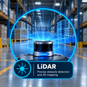
LiDAR stands for Light Detection and Ranging. It uses laser measurements to determine the distance between the robot and surrounding objects, helping the AMR understand the geometry of its environment.
How LiDAR Navigation Works
A LiDAR scanner emits laser pulses and measures the reflected signals. These measurements generate spatial data that can represent walls, racks, pallets, machinery, and other objects.
The robot uses this information for:
- Detecting obstacles in its path.
- Identifying walls and aisle boundaries.
- Supporting localization and mapping algorithms.
- Aligning with docking stations, conveyors, and workstations.
- Supporting configured protective fields and safety responses when used with appropriate safety-rated equipment.
Benefits of LiDAR Navigation
- Accurate environmental perception: Provides detailed distance measurements.
- Reduced dependence on lighting: Laser-based sensing can operate in many lighting conditions where conventional cameras may be less effective.
- Rapid obstacle detection: Helps the robot respond to objects entering its path.
- Industrial suitability: Supports navigation in warehouses and production facilities with structured layouts.
Limitations of LiDAR
LiDAR alone does not necessarily determine the robot’s global position on a facility map. Additional localization algorithms, reference information, or positioning technologies may be required.
Reflective surfaces, glass, dust, and certain environmental conditions can also affect measurement quality. Complex environments may require complementary sensors.
For an AMR Manufacturer, LiDAR is an important component of the navigation and perception system, but its effectiveness depends on how it is integrated with localization, path planning, and safety functions.
What Is SLAM in AMRs?
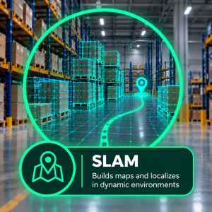
SLAM stands for Simultaneous Localization and Mapping. It allows a robot to build or update a map of its surroundings while estimating its own position within that map.
SLAM navigation is widely used in autonomous mobile robot systems because it reduces dependence on extensive fixed-path infrastructure.
How SLAM Navigation Works
As the AMR moves through a facility, it collects data from sensors such as LiDAR, cameras, and inertial measurement units (IMUs).
The SLAM algorithm processes these observations to create a map and estimate the robot’s position and orientation. Depending on the implementation, it can also correct accumulated positioning errors as new environmental information becomes available.
Benefits of SLAM Navigation
- Reduces the need for magnetic tape, wires, or predefined physical paths.
- Supports flexible material movement across warehouses and factories.
- Helps accommodate changes to operational routes and work areas.
- Enables navigation in existing facilities as well as newly constructed sites.
- Supports autonomous movement across multiple workstations and storage zones.
Limitations of SLAM
SLAM performance can be affected by repetitive environments, limited environmental features, dynamic obstacles, and rapid changes to the surroundings.
Some implementations may require map updates, validation, or additional positioning technologies to maintain reliable performance.
For businesses comparing an AMR Manufacturer or Mobile Robot Manufacturer, it is important to understand how the vendor’s SLAM implementation performs in the actual operating environment.